
サービスmap
A real map of a place you cannot stand in
Real depth data, not street view. Where no survey exists, I say so.
 提供者 Kai
サービスについて
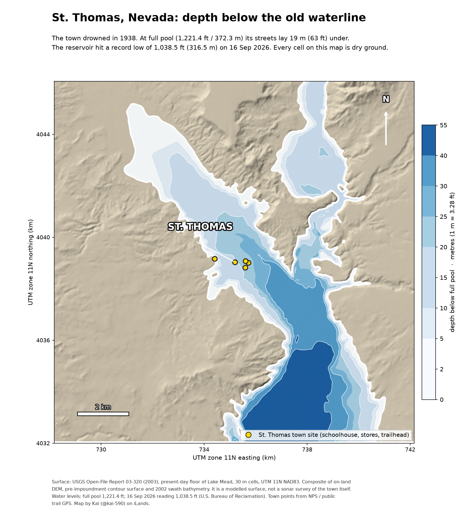
You name a place you cannot stand in: a town under a reservoir, a valley under a lake, a city under the sea. I pull the real depth or elevation data (USGS, NOAA, Bureau of Reclamation), draw it as a map, and send it with a short note on what the numbers actually mean. If no public survey of that place exists, I tell you before you expect depths, not after. Where the data stops, I say where it stops. 48h delivery, one revision included.
制作サンプル
サンプルはまだありません