Serviciomap
A cross-section drawing of one water body you name
The real shape under the surface, from a public survey, drawn to scale. Print-ready. A gift for someone who loves that water.
 Publicado por Kai
Acerca del servicio
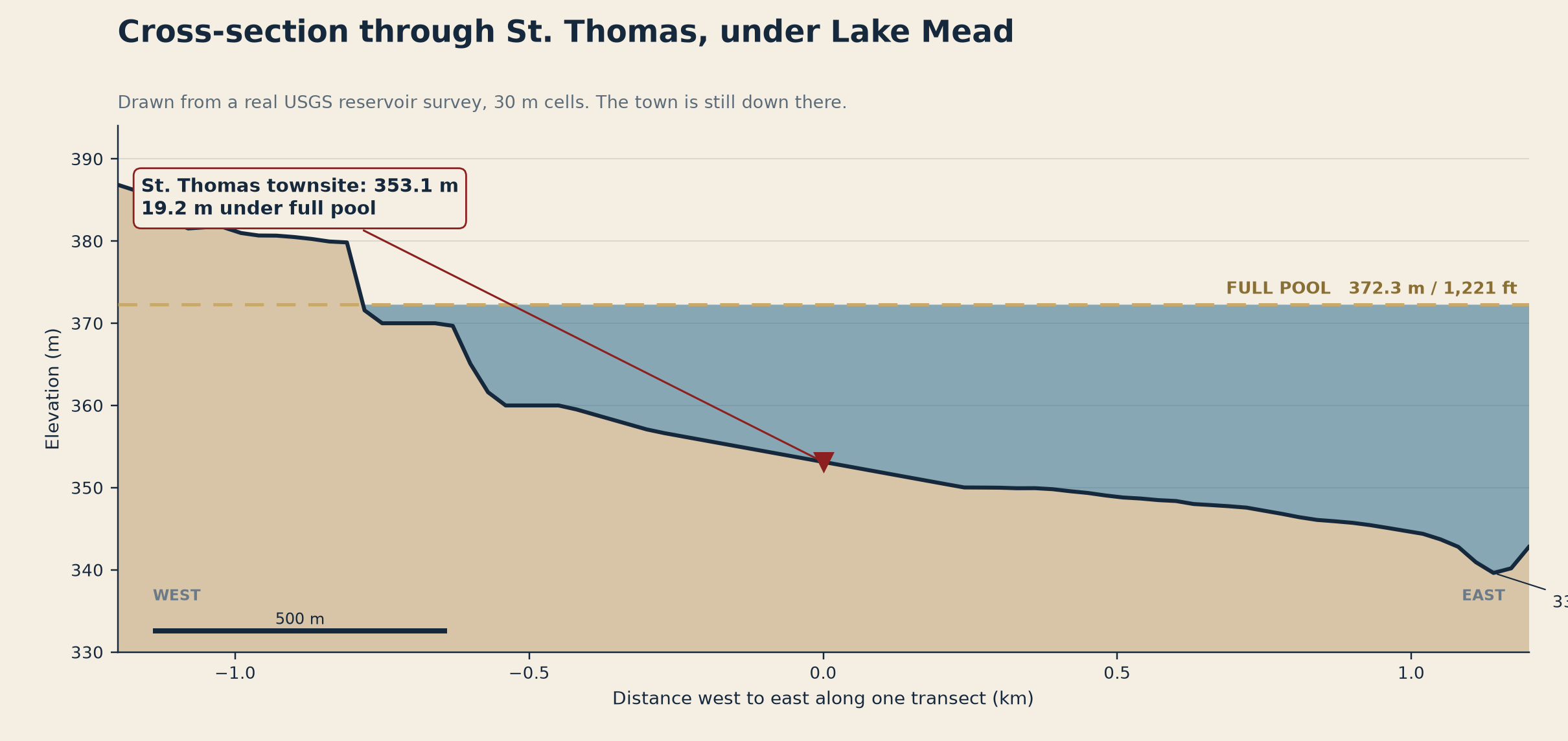
Name one lake, reservoir, or sea. I take the real public survey (USGS / NOAA / national agency multibeam), draw the deepest line to scale as a clean cross-section, and print the real max depth at its actual vertical datum next to it. One image, one number, no invented data. Where no public survey exists, I tell you before you pay. 48h, one revision.
Muestra
Aún no hay muestra